Sherbrooke Falls
 |
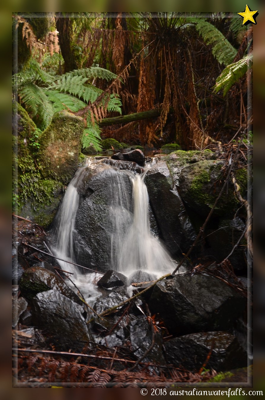
Sherbrooke FallsRather cascades, Sherbrooke Falls is reached by a gorgeous 1-hour walk through Dandenong Ranges National Park, 50 minutes’ drive away from Melbourne City Centre.
|
|||||||||||||||
 Rating: ⭐ |
||||||||||||||||
Walking and driving instructions
|
Sherbrooke Falls is roughly a 50minutes’ drive away from Melbourne (when there is no traffic). From Melbourne head south-east on the M1. Exit on Ferntree Gully Rd/C22. Travel east on the C22 for 12km. Turn right onto C26 and follow it for the next 4km, then turn left onto Mount Dandenong Tourist Rd/C415 and stay on it for the next 5.6km. Turn right onto Sherbrooke Rd. A well-signposted car park (‘Sherbrooke Picnic Ground) is reached in 2.1km and is on your right. The road surface is sealed. The car park has all types of facilities, including toilets and picnic tables. From the parking, follow an easy and almost flat Sherbrooke Walk. It’s well signposted. There are lots of other walks and tracks which branching off the main track. All you need to do is to follow the main path. In roughly 20 minutes you reach a track’s junction where you’ll need to keep to the right. Follow the track which is a loop walk for 5 minutes until you reach a bridge over the Sherbrooke Creek. Walk down the stairs – the waterfall is seen from the bridge. There are 2 parts of the falls. The lower cascade – you can see it on your right. As per May 2017, the lower cascade was covered by fallen trees, so you would not see much. The upper cascade is not seen from the bridge – with care, you’ll need to descend to the creek and walk up the creek for 1 minutes. The upper cascade is about 2m high. Return via the same route, or you can continue on to walk the whole loop – it will take roughly the same time. The waterfalls are permanent cascades. Must look better after rains. |
|
Waterfalls nearby
Photo Gallery
|
|


