Maddens Falls
 |
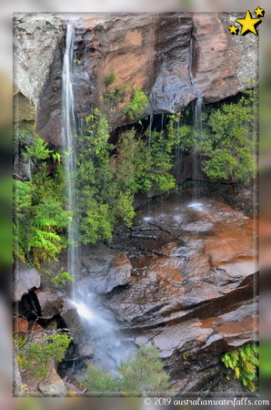
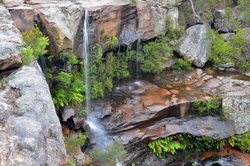
Maddens FallsMaddens Falls, perhaps one of the best waterfalls in the south of Sydney area, is accessible via an easy 20 minutes' return walk.
|
|||||||||||||||
 Rating: ⭐⭐⭐ |
||||||||||||||||
Walking and driving instructions
|
Maddens Falls is roughly a 1hour10minutes' drive away from Sydney CBD. From the city center head south on the M1 then on the A1. Roughly after 52km, slide right onto Princes Hwy and follow it for the next 5km, then turn right onto Darkes Forest Rd. There is a car park (to your left) after 2.6km from begging of this road. The road surface is sealed. The parking has no facilities other than an information(map) board. From the car park follow '10Z Management Trail', which has been recently upgraded to a proper walking track. The track gently descends to the Maddens Creek and then brings you to the upper viewing platform. It is an easy 10 minutes walk to the waterfall, and something like 10-15 minutes back to the parking. Return via the same route. Maddens Falls is a permanent waterfall, which could almost disappear during dry season. Best time to visit - after a decent rain. |
|
Waterfalls nearby
Photo Gallery
|
|


